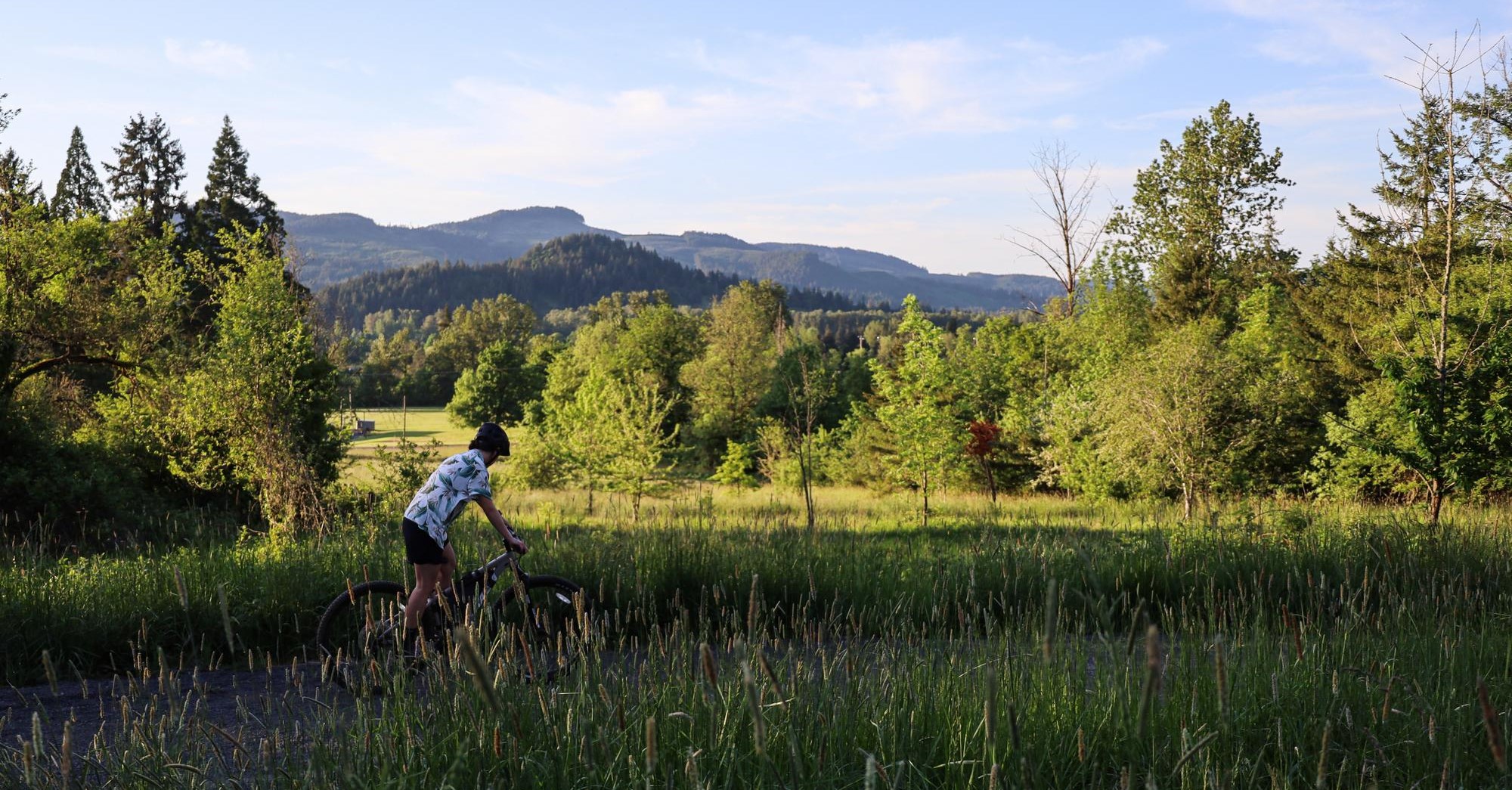
Thurston Hills Natural Area
Thurston Hills Natural Area provides 665 acres of land dedicated to recreation and habitat restoration in east Springfield. This area opened to the public in 2017, providing a growing trail system for hikers, mountain bikers, and nature lovers.
There are currently over 12 miles of trails in Thurston Hills Natural Area. Four of these trails provide separate, dedicated mountain bike access for downhill use only. These are the region's first natural-surface mountain bike trails, providing both beginner and intermediate mountain bike experiences. Trails are accessible from the North Trailhead (7575 McKenzie Hwy), just south of McKenzie Hwy on the eastern edge of Springfield. The trailhead includes restrooms, an information kiosk, a picnic table, water, and a bike cleaning and repair station.
Mountain Biking at Thurston Hills Natural Area
Some mountain bike trails are now closed for the rainy season. Upper Camas Crest Trail is closed to all traffic. Please avoid riding trails when the ground is wet.
Trail Status:
- Acer Spades: Closed
- Basalt Rim: Open
- Chinquapin Chutes: Closed
- Camas Crest (Upper): Closed
- Camas Crest (Lower): Open
- Mossy Maple (Upper and Lower): Closed to bikes
- Super Maple: Closed
- Yew Haw: Closed
Notices:
- Heavy machinery may be present at the North Trailhead and near Chinquapin Chutes Trail for power line maintenance.
- Upper Camas Crest Trail is closed due to extensive damage.
- Some mountain bike trails are now closed for the rainy season.
- ODF will be conducting controlled pile burns of hazardous fuels throughout the winter, beginning Nov. 5.
Explore the Trails
Download Trail Maps
Peter DeFazio Trail System Map
Mossy Maple Trail (lower)
- 1.5 miles
- Hiking and uphill mountain biking
- Connects to Mossy Maple Trail (upper)
- Accessible from North Trailhead
- Closed to bikes during rainy season
Mossy Maple Trail (upper)
- 1.5 miles
- Hiking and mountain biking
- Connects to Yew Haw Trail and Basalt Rim Trail
- Closed to bikes during rainy season
Camas Crest Trail (upper and lower)
- .3 miles
- Hiking and uphill mountain biking
- Connects to Cervus Road
- Open to biking all year
Basalt Rim Trail
- 1 mile
- Hiking and mountain biking
- Connects to Mossy Maple Trail and Cascadian Thumb Trail
- Open to biking all year
Cascadian Thumb Trail
- .4 miles
- Hiking only, 1-way traffic
- Connects to Basalt Rim Trail and Super Maple Trail
Acer Spades Trail
- 1.1 miles
- Beginner downhill mountain biking only, no hilking
- Connects to Mossy Maple Trail (lower) and Chinquapin Chutes Trail
- Accessible from North Trailhead
- Closed during rainy season
Super Maple Trail
- 1 mile
- Intermediate mountain biking downhill only, no hiking
- Connects to Basalt Rim Trail
- Closed during rainy season
Yew Haw Trail
- 1 mile
- Intermediate mountain biking downhill only, no hiking
- Connects to Mossy Maple Trail (upper)
- Closed during rainy season
Chinquapin Chutes Trail
- .6 miles
- Double black diamond mountain biking downhill only, no hiking
- Connects to Acer Spades Trail
- Closed during rainy season
